Cool weekend on the way for most
Spells of cold weather will continue over the weekend and early next week, but by the end of next week the UK will see milder and more typical autumnal weather.
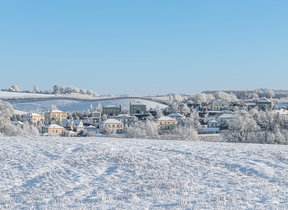
Cold air and longer nights have brought some chilly starts over the past week, with the first frosts and snowfall of the season bringing a rather abrupt end to the summer heat. Further cold nights are expected, particularly over the weekend and into that start of next week, with some hills snow possible in northern Scotland from Monday.
In the latest Met Office 10 day trend, Aidan McGivern explained: “Across the UK temperatures are going to be below average for the second half of the weekend and into Monday as well as Tuesday.”
As temperatures will drip to low single figures and below zero for some overnight it’ll be cold enough for a touch of frost and some snow showers. But Aidan added the snow was nothing out of the ordinary: “It's really going to be over the tops of the Scottish mountains and there's nothing particularly unusual about that at this time of year.”
Further ahead
A switch in wind direction will bring a change in type later next week as from mid-week onwards, the weather is set to turn more autumnal with Atlantic frontal systems bringing spells of wet weather from the west and temperatures at or just above seasonal average.
You can check the latest forecast on our website, by following us on Twitter and Facebook, as well as on our mobile app which is available for iPhone from the App store and for Android from the Google Play store. Keep track of current weather warnings on the weather warning page.


