Advancing tropical cyclone forecasts - WCSSP case study
Through international collaboration, the Weather and Climate Science for Service Partnership Programme is advancing our understanding of cyclones and helping forecasters around the world provide more accurate warnings of cyclones.
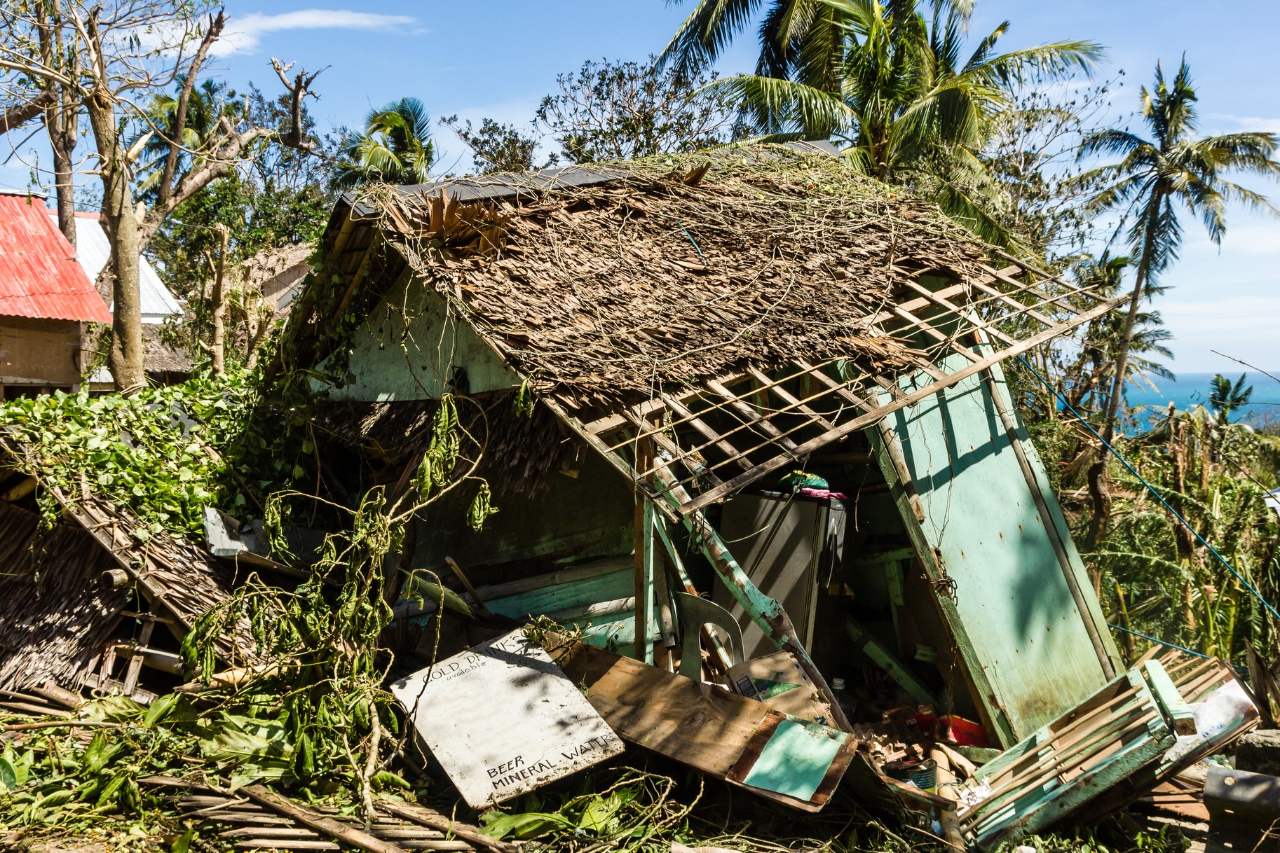
Tropical cyclones are one of the most powerful and destructive natural hazards. One of the best ways of protecting people from the impacts of tropical cyclones is an accurate forecast. This gives people and governments enough time to take action to reduce the impacts of cyclones and help protect lives. However, there are many factors that affect the movement and intensity of tropical cyclones making them a complex weather system to forecast.
The Weather and Climate Science for Service Partnership (WCSSP) programme aims to help forecasters around the world provide accurate warnings of cyclones.
What is a tropical cyclone?
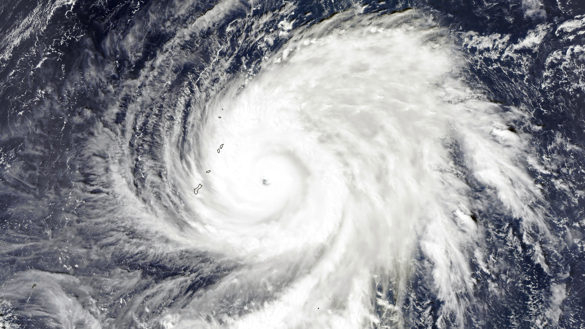
Tropical cyclones are large rotating storms that form over the tropical oceans. They usually develop when sea surface temperatures are at least 26.5 degrees Celsius and get their extreme energy from warm, moist ocean air. Also known as hurricanes in the North Atlantic and typhoons in the northwest Pacific, these huge storms have wind speeds of at least 74 miles per hour and can be up to 1000 kilometres in diameter.
Increase in tropical cyclone risk to coastal regions
Research by Imperial College London as part of the CSSP China project found that the activity of cyclones in coastal regions has changed recently. Analysing global data from 1982-2018 they found that tropical cyclones at their maximum intensity are moving 30 kilometres closer to coasts every decade. The study also found that the number of cyclones within 200 kilometres of land is increasing by an average of two more cyclones per decade.
Cyclones that are classified as major storms (category three or above on the Saffir-Simpson scale) at landfall are of particular concern as they can cause significant damage to coastal regions. The team at Imperial College London also found that the number of tropical cyclones that make landfall as major storms has nearly doubled from 1982 to 2020.

Uncovering atmospheric waves as a signal for tropical storms
Accurate and reliable forecasts of tropical cyclones are vital for protecting lives, livelihoods and infrastructure. However, there are many factors that affect the movement and intensity of tropical cyclones and predicting the generation of cyclones over five days ahead is a significant challenge.
Keith Williams, Head of Atmospheric Processes and Parametrizations at the Met Office commented, “In WCSSP Southeast Asia, we are undertaking fundamental research into the processes operating in tropical cyclones, improving their representation in computer models to increase forecast accuracy, ensuring forecasters make optimal use of those models and improving how warnings are communicated to stakeholders and the public to save lives across the region.”
Research by the University of Reading as part of the WCSSP Southeast Asia project has uncovered insights into the role of equatorial waves, which are atmospheric waves that are trapped near the equator, in the formation of cyclones. The researchers analysed over 3,400 tropical cyclones globally and found that westward moving equatorial waves signalled the formation of over 80% of the strongest tropical storms. This is due to these waves leading to favourable conditions for the formation and development of tropical cyclones. This finding could be used to identify the locations of future tropical cyclones and potentially help the development of earlier warnings, up to two weeks in advance.
Overcoming operational challenges in cyclone forecasting
Seasonal forecasts provide information about the likely weather conditions several months ahead. These types of forecasts for tropical cyclones could significantly help decision makers and emergency management authorities improve preparedness ahead of the tropical cyclone season by providing insights into the number of cyclones that may occur in a region.
Through WCSSP Southeast Asia, researchers from institutes in the UK, Philippines and Vietnam have identified a new approach to predict the number of cyclones that may occur in the tropical west Pacific up to four months ahead.
“This new approach is a good example of an outcome of research-focused and needs-driven collaborations. It was exclusively defined to tackle an operational forecast challenge of our partners in the Philippines and Vietnam. Existing models struggle to make accurate forecasts of tropical cyclones during the peak-season from July to September over this region. This new method, based on preceding-season predictors, has a good skill, and provides a solution to our partners.” Xiangbo Feng, National Centre for Atmospheric Science.
The trial forecasts based on this method were released at the Vietnam Meteorological and Hydrological Administration (VNMHA) in 2022 and 2023. “This new method provides another source of information that will help develop and improve our seasonal forecasts of tropical cyclones.” Lam Hoang, Vietnam Meteorological and Hydrological Administration.
As a collaborator on the project, Alvin Pura from the Philippine Atmospheric, Geophysical and Astronomical Services Administration commented “Our next step will be to conduct further trials of the forecasting model and determine how this can be implemented operationally. Predicting the number of tropical cyclones during peak season from July-September, several months in advance will be helpful to our cyclone seasonal forecasting capability”.
Creating a seasonal tropical cyclone forecast service in East Asia
The CSSP China project has developed a seasonal forecast of tropical cyclone landfall risk along the coast of Eastern China. The first trial forecast was released in 2019 and the Met Office has now issued the forecast in real time for four successive years. This trial climate service is issued to the China Meteorological Administration, who use the Met Office product to inform the development of the official China forecast of major meteorological hazards for the coming seasons.
“At the Met Office we have developed a seasonal forecast model that does a very good job of representing what is likely to happen. The model is particularly skilful in the western Pacific where these cyclones develop and is helping to provide advance warning of heightened tropical cyclone risk on the eastern Chinese coastline.” Tim Mitchell, Met Office Senior Scientist.


