Mixed Easter forecast
After a spell of wet and windy weather, conditions will settle for a time over the Easter weekend before low pressure returns.
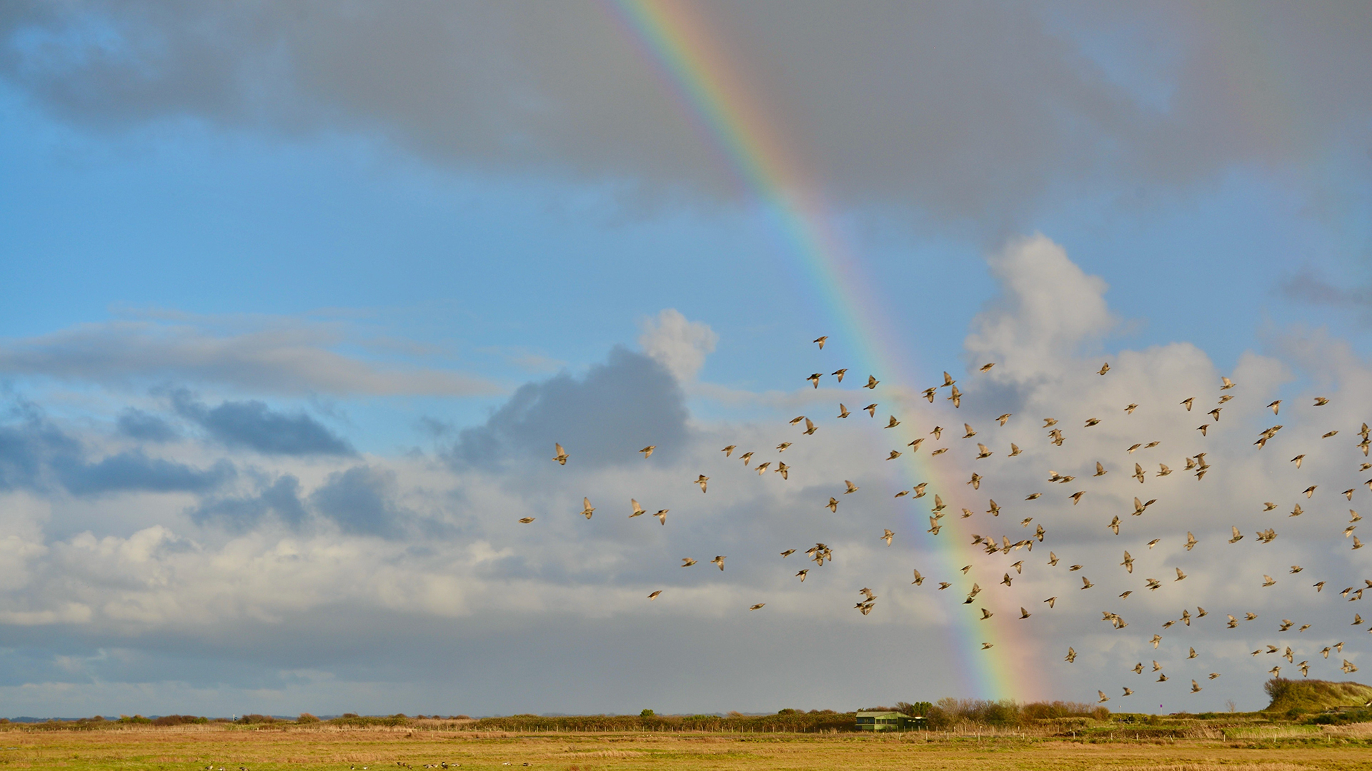
The area of low pressure responsible of the wet and windy conditions spreading across the UK will clear away on Friday, leaving a mixture of sunny spells and blustery scattered showers through Good Friday. In any sunshine it will feel warm, with highs of 14°C expected in the southeast of England.
The showers will be widespread and could turn heavy at times with the risk of the odd thunderstorm. The driest weather is expected in the far northeast of the UK. After a windy start to the day for many, winds will ease through the day leaving a calmer outlook for the weekend.
Easter weather forecast
Showers will continue overnight, particularly in the west and south coasts, becoming more scattered through Saturday and most frequent in the west. Some areas in the East will remain dry through the day. Sunny spells will again feel warm with winds much lighter than the preceding days. Highs of 15°C are possible in the southeast of England and 13°C in northern England and Eastern Scotland.
The showery theme will continue through Sunday, again the most frequent showers focussed in the southwest. Following a chilly start, another warm day in brighter spells with highs of 16°C in central and southern parts of England and 15°C in the northwest of England.
Deputy Chief Metereologist, Dan Harris, said: “The weather is expected to gradually improve following the widely unsettled spell of the past few days, with a fairly typical mix of spring-like weather across the UK. There will be some sunshine, and it will feel increasingly warm for most as the winds become lighter. However, the west and especially southwest is likely to see passing showers too, which could be quite heavy and frequent at times. Eastern coastal districts are also likely to feel increasingly cold as an onshore breeze develops, threatening persistent low cloud in some areas too.”
Monday is likely to be mostly fine, driest in the north of the UK and with best of the sunshine reserved for northwest Scotland. There is a chance however of further rain affecting the south and southeast of England, and a small chance this could end up being much more widespread across England and Wales.
Further ahead
Tuesday is forecast to be a largely dry day with light winds, some scattered showers could break out in parts of the south, although confidence in weather details decreases significantly through the day. Dan Harris continued: “At present Tuesday looks mostly settled, between one area of low pressure responsible for Monday’s rain in the south or southeast, clearing to the east, and another low arriving from the southwest later. How quickly this second low and associated rain arrives is a significant point of uncertainty in the longer-range forecast. But it will herald a further spell through early April of unsettled weather focussed particularly across southern areas; best chance of any more settled conditions, and probably colder conditions, will be across the north of the UK.”
You can keep up to date with the latest forecast on our website, by following us on Twitter and Facebook, as well as on our mobile app which is available for iPhone from the App store and for Android from the Google Play store.


