Satellites and thunderstorms - WCSSP case study
As part of the WCSSP India project, researchers have developed a tool that uses satellite imagery to identify where severe thunderstorms and lightning may occur.
Thunderstorms are associated with numerous hazards including heavy rainfall and lightning. In addition to these hazards, tiny ice crystals can form within the storm’s rapidly growing clouds. These high-altitude crystals can be particularly dangerous to aircraft as they can stick to aircraft instruments. As part of the Weather and Climate Science for Service Partnership (WCSSP) India project, researchers have developed a tool that uses satellite imagery to identify where these ice crystals may occur to help warn people of the potential dangers.
What are high-altitude ice crystals?
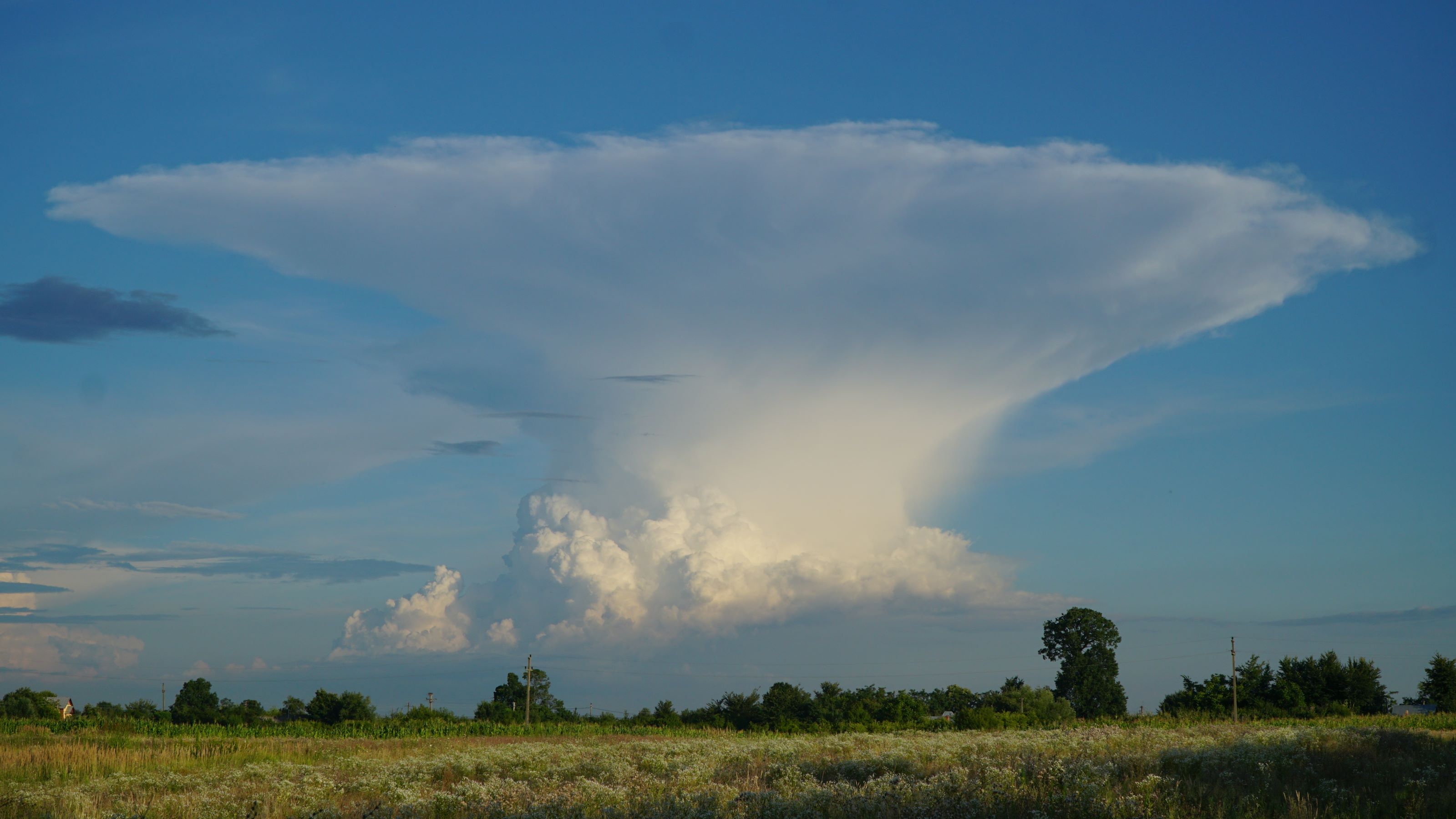
Cumulonimbus clouds, also known as thunderclouds, are towering clouds which occur in thunderstorms. These clouds can grow until they reach the top of the troposphere, which is the lower layer of the atmosphere, where they then spread outwards creating a characteristic anvil-shaped top. In particularly severe storms, moisture can have enough momentum to be propelled above the top of a storm’s anvil cloud to form a dome shape known as an overshooting top. It’s within these high-altitude storm clouds that tiny ice crystals can form.

Image showing a cumulonimbus cloud with its characteristic anvil shaped top.
These ice crystals are so small that even in high concentrations they cannot be detected by aircraft radars. They can stick to aircraft instrumentation which can lead to potentially catastrophic consequences such as aircraft experiencing power loss.
Monitoring ice crystal development from space
Severe storms can advance quickly, and satellites can provide us with imagery that can help us identify storms where high-altitude ice crystals may form. Researchers from the Met Office have developed a new tool which uses satellite imagery to estimate the locations of overshooting tops, anvil clouds and the probability of high-altitude ice crystal formation.
“By using images from five satellites, this is the first tool to offer a global picture of where severe storms are forming and could be used to look at any region. It produces a new global coverage output every 30 minutes allowing users to see storms developing in near real-time.” Rory Gray, Senior Scientist, Met Office.
The tools are currently being trialled and it is hoped in the future they will be used in cockpits by pilots to provide an insight into where these potentially dangerous ice crystals are forming.
Improving the forecasting of lightning
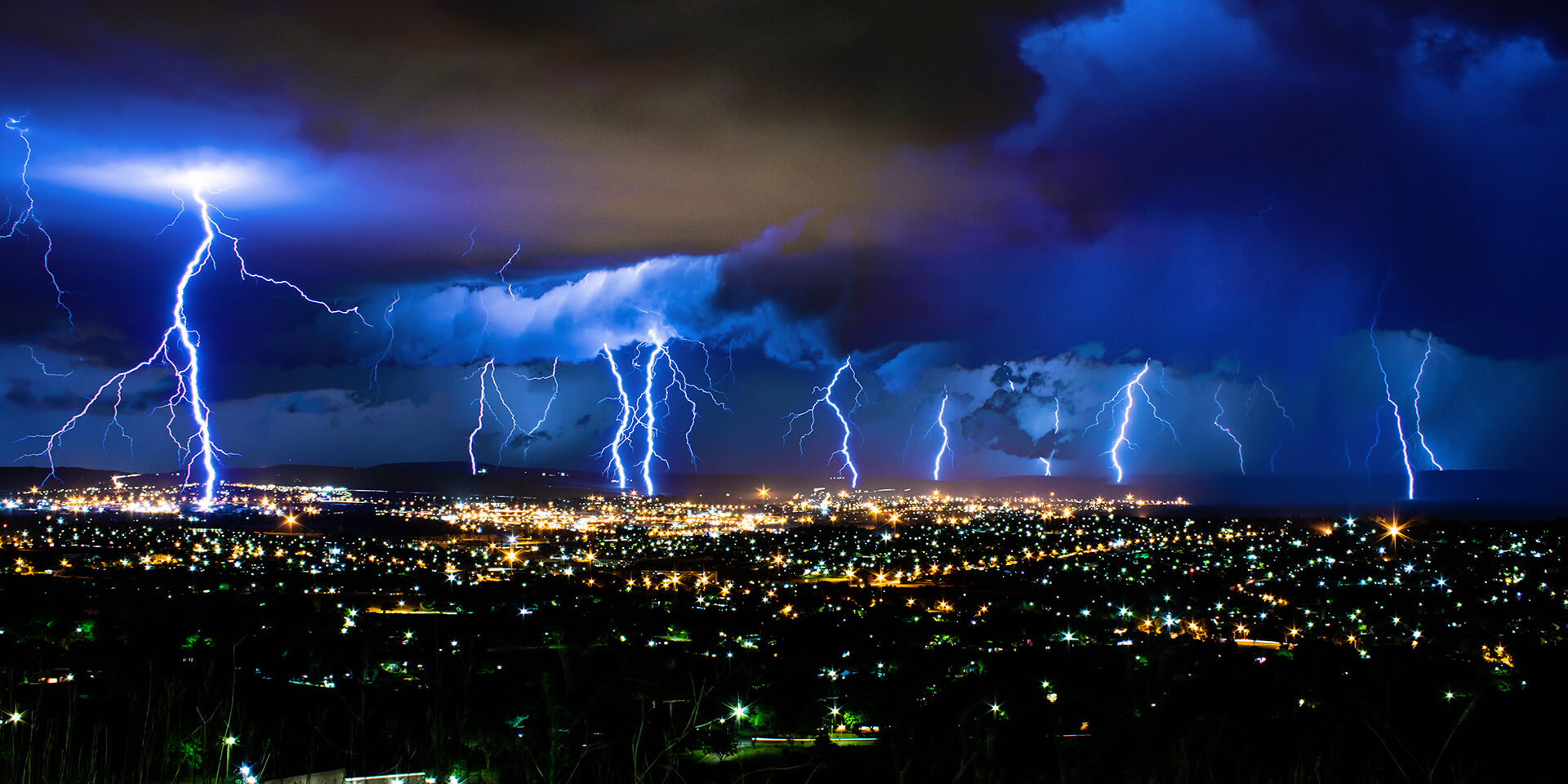
Lightning is a severe natural hazard, which can damage infrastructure, impact transportation industries, and affect many people around the world. The Met Office is collaborating with the National Centre for Medium Range Weather Forecasting (NCMRWF) in India to improve the quality of lightning forecasts over India. As the location of high-altitude ice crystals can indicate regions of intense storm activity where lightning strikes are likely to occur, these new tools can also be used to help evaluate computer model forecasts of lightning. This will help to identify aspects of the model simulations that need improving in order to produce more accurate lightning forecasts, which would help save lives and protect livelihoods around the world.

“There is still limited understanding in the link between the evolution of ice crystals and graupel (soft hail) with observed lightning flash counts. Additionally, evaluating the accuracy of atmospheric models for predicting lightning in different weather conditions also needs attention. The new tool under development will be beneficial in addressing some of these issues in conjunction with other observations.” Saji Mohandas, Model Development Group Lead, NCMRWF, India.


