Wet weekend for many
Parts of the South West, Midlands, northern England and east Scotland could see impacts from heavy rain either today or over the weekend.
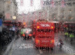
Met Office Chief Meteorologist Neil Armstrong said; “There is likely to be surface-water flooding in places and driving may be difficult because of the spray on roads. Bus and train services could be affected, and there is an increased risk that homes and businesses could flood.
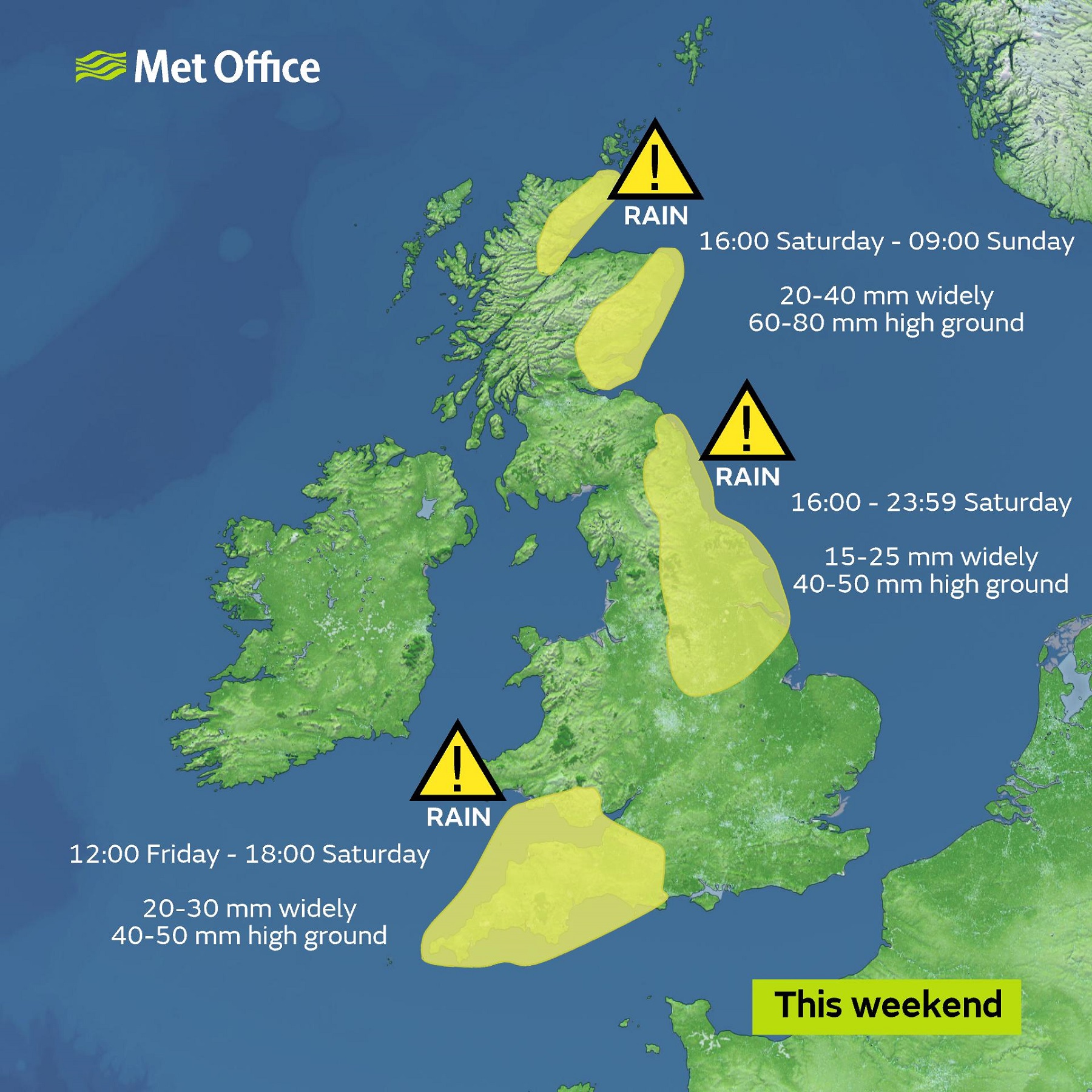
“A weather front is bringing heavy, persistent rain to the South West today and tomorrow and a yellow national severe weather warning for rain is in place until 6pm on Saturday. The rain will be heavy at times before slowly dying out during Saturday afternoon. 20 to 30 mm is likely to fall quite widely, and 40 to 50 mm may accumulate in a few places, most likely across the higher ground of south Devon".
On Saturday two further yellow rain warnings have also been issued. The first one, valid from 4am to midnight on Saturday (23rd November), covers north east England and parts of the East Midlands and warns of heavy rain, especially on hills. 15 to 25 mm is likely to fall quite widely, with 40 to 50 mm possible over high ground. The rain will slowly ease and then clear from the south on Saturday evening.
Another yellow warning for rain comes into force at 4pm tomorrow (23rd November) across parts of northeast Scotland. Occasionally heavy rain is expected to develop here from Saturday afternoon with 20-40 mm expected across Aberdeenshire, Angus, parts of Tayside, Fife, Easter Ross and Caithness, with potentially 60-80 mm across some high ground in addition to a gradual thaw of snow. The rain will clear to the north on Sunday morning.
Away from the warning areas the weekend is going to be cloudy and damp for most of us, with Sunday looking like the better day for many.
As we go through the early part of next week, the unsettled spell of weather will continue, with further heavy rain in places, especially across England and Wales. However, later in the week conditions should begin to turn drier and colder, especially across northern parts of the UK as high pressure builds from Iceland. This will see a return of night frosts to northern areas by the end of the week.
You can get the most accurate and up to date forecast for your area using our forecast pages and by following us on Twitter and Facebook, as well as using our mobile app which is available for iPhone from the App store and for Android from the Google Play store.


