Satellite active sensing
The development of improved techniques for the use of actively-sensed satellite data in support of Numerical Weather Prediction applications.
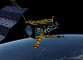
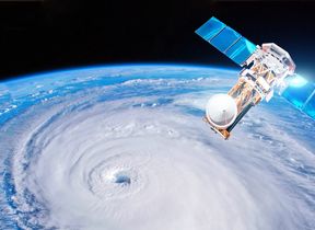
This area of research focuses on improving the way we use actively-sensed satellite data to improve our forecasting capabilities, primarily via the assimilation of these data into the Met Office Numerical Weather Prediction models. Active remote sensing uses artificially-generated radiation, emitted by a satellite or ground-based instrument, and received by the same instrument or another receiver. This radiation interacts with the Earth's surface or atmosphere; meteorological and other information can be derived from the measurements for eventual use in models. Typical wavelengths used range from microwaves (wavelengths of a few millimetres) to the visible and ultraviolet regions, depending on the application. The method contrasts with satellite sounding of the atmosphere, where an instrument measures the natural radiation signature from the atmosphere or surface.
Current research
- Scatterometry: a system which measures back-scattered radar return to infer near-surface wind speed and direction over the oceans. One example of such an instrument is the Advanced Scatterometer (ASCAT) flown on-board the EUMETSAT Polar System (EPS) Metop satellites.
- Use of GNSS (Global Satellite Navigation System, but often referred to as GPS - Global Positioning System) data: by measuring the angles through which these radio waves are bent by the atmosphere before being detected by a second satellite, or by measuring the time delays introduced by the atmosphere before the signals are detected by a receiver at the Earth's surface, we can derive information on the temperature and humidity structure of the atmosphere. Much of this research is carried out in collaboration with the EUMETSAT SAF on Radio Occultation Meteorology and the European Centre for Medium-Range Weather Forecasts.
- Use of Doppler Wind Lidar (DWL) data: the technique measures the Doppler shift of a lidar signal which is back-scattered from atmospheric molecules, cloud droplets or aerosols, to infer details of the horizontal wind speed and direction. The ESA ADM-Aeolus mission, dedicated to the measurement of wind profiles using the technique, was launched in 2018, and research is ongoing to ensure that the data are assimilated into our Met Office Numerical Weather Prediction models in the near future.
Key aims
- To improve forecast accuracy through better assimilation of active satellite data into the Unified Model.
- To assess the potential for using new instruments and techniques for future improvements to our satellite active sensing capabilities.
Current projects
- Enhancing the utilisation of scatterometer data in the Unified Model through the use of new wind products.
- Improving forecast accuracy through better assimilation of data into the Met Office Numerical Weather Prediction models.
- Improving the analysis and forecasting of wind, by developing a system for the assimilation of ESA ADM-Aeolus wind data into the Unified Model.
- Developing the Radio Occultation Meteorology SAF Radio Occultation Processing Package (ROPP).


