
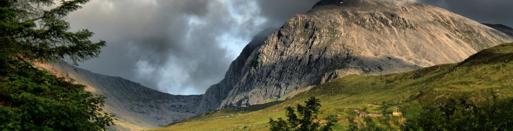
Mountain weather
North Grampian Mountain weather forecast table
Confidence
High for cold weather continuing over weekend and well into next week and for weather details on Saturday. Lower confidence on frequency and intensity of snow showers later Sunday and Monday.
Mountain weather hazards
Hazards apply at or above 300m, reflecting the more severe conditions which can occur at altitude.
 Severe Chill Effect
Wind significantly lowers the ‘feels-like’ temperature relative to the actual temperature, with even moderate winds significantly adding to the chilling effect. Strong winds can result in a severe and debilitating wind chill many degrees below the actual temperature. This effect will be enhanced in rain or wet snow. Without protection, prolonged exposure could result in frost nip or frostbite on exposed parts of the body and/or hypothermia.

Mountain weather forecast
Mainly dry. Some clear or sunny spells. Fresh winds on the tops. Feeling bitterly cold.
| 06:00 | 09:00 | 12:00 | 15:00 | 18:00 | 21:00 | |
|---|---|---|---|---|---|---|
Weather (at 800m) |
|
|
|
|
|
|
Chance of precipitation (at 800m) |
20% | 10% | 10% | 10% | 10% | 10% |
Wind direction and speed (mph)
Altitude above mean sea level
| 06:00 | 09:00 | 12:00 | 15:00 | 18:00 | 21:00 | |
|---|---|---|---|---|---|---|
| 1300m |
SW
21
|
W
20
|
SW
18
|
SW
16
|
SW
13
|
SW
8
|
| 900m |
SW
21
|
SW
19
|
SW
18
|
SW
16
|
SW
14
|
SW
9
|
| 600m |
SW
12
|
SW
13
|
SW
12
|
SW
12
|
SW
11
|
SW
6
|
| 300m |
SW
4
|
SW
4
|
SW
4
|
S
4
|
SW
5
|
SW
4
|
| Glen |
SW
4
|
SW
5
|
SW
5
|
SW
5
|
SW
5
|
SW
4
|
Wind gust (mph)
Altitude above mean sea level
| 06:00 | 09:00 | 12:00 | 15:00 | 18:00 | 21:00 | |
|---|---|---|---|---|---|---|
| 1300m | 27 | 26 | 24 | 22 | 18 | 11 |
| 900m | 25 | 23 | 22 | 20 | 17 | 12 |
| 600m | 16 | 18 | 18 | 17 | 15 | 10 |
| 300m | 12 | 13 | 13 | 12 | 11 | 9 |
| Glen | 17 | 17 | 16 | 17 | 14 | 11 |
Additional weather information
Met Office Aberdeen meteorologist's view
Difficult walking conditions with some icy and snow covered paths. Also fresh winds over higher ridges and summits combined with sub-zero temperatures making it feel bitterly cold.
Weather
Mainly dry on Saturday with some clear or sunny spells, best over north and east of area. Thicker cloud at times in the west may produce a few snow flurries.
Chance of cloud-free hill tops
50%, best in northeast of area.
Low cloud and visibility
Mostly good visibility beneath the cloud which will be extensive in west of area and down around Ben Alder, above about 700 to 800m. Clouds patchier in north and east.
Updated at:
Summit specific forecast
Mountain summit forecast map
Loading map…
Key
Includes the northern and western Cairngorms National Park, Monadhliath, Ben Alder, Creag Meagaidh, Loch Ericht and Loch Rannoch.
For snow and avalanche hazard forecasts please visit Scottish Avalanche Information Service