
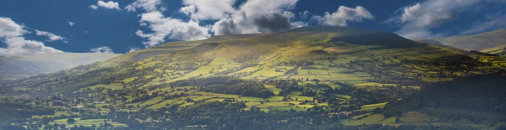
Mountain weather
Bannau Brycheiniog / Brecon Beacons Mountain weather forecast table
Confidence
High for relatively settled for Saturday, then very wet and windy for Sunday, but lowering for the detail of worst conditions.
Mountain weather hazards
Hazards apply at or above 300m, reflecting the more severe conditions which can occur at altitude.
 Severe Chill Effect
Wind significantly lowers the ‘feels-like’ temperature relative to the actual temperature, with even moderate winds significantly adding to the chilling effect. Strong winds can result in a severe and debilitating wind chill many degrees below the actual temperature. This effect will be enhanced in rain or wet snow. Without protection, prolonged exposure could result in frost nip or frostbite on exposed parts of the body and/or hypothermia.
Poor Visibility
Poor visibility presents challenging route finding conditions. Visibility could be significantly less than 50 metres in all directions with few or no visual references, especially on featureless moors or plateaux. Distances become hard to judge and cliff or cornice edges can be difficult to recognise. These conditions require good navigational skills. There is a risk of white-out conditions when mist or fog is combined with extensive snow cover.
Mountain weather forecast
Largely dry with some brighter spells. Fresh southwest summit winds.
| 06:00 | 09:00 | 12:00 | 15:00 | 18:00 | 21:00 | |
|---|---|---|---|---|---|---|
Weather (at 600m) |
|
|
|
|
|
|
Chance of precipitation (at 600m) |
20% | 10% | 10% | 10% | 00% | 00% |
Wind direction and speed (mph)
Altitude above mean sea level
| 06:00 | 09:00 | 12:00 | 15:00 | 18:00 | 21:00 | |
|---|---|---|---|---|---|---|
| 600m |
SW
15
|
SW
18
|
W
17
|
SW
17
|
SW
14
|
SW
16
|
| 300m |
SW
9
|
SW
11
|
W
12
|
SW
11
|
SW
8
|
SW
9
|
| Valley |
SW
7
|
SW
8
|
W
11
|
W
10
|
SW
6
|
SW
7
|
Wind gust (mph)
Altitude above mean sea level
| 06:00 | 09:00 | 12:00 | 15:00 | 18:00 | 21:00 | |
|---|---|---|---|---|---|---|
| 600m | 20 | 22 | 22 | 23 | 20 | 21 |
| 300m | 20 | 21 | 22 | 21 | 18 | 19 |
| Valley | 20 | 20 | 22 | 21 | 17 | 18 |
Altitude above mean sea level
| 06:00 | 09:00 | 12:00 | 15:00 | 18:00 | 21:00 | |
|---|---|---|---|---|---|---|
| 600m |
5°
|
6°
|
6°
|
7°
|
5°
|
5°
|
| 300m |
7°
|
8°
|
10°
|
10°
|
7°
|
6°
|
| Valley |
8°
|
8°
|
10°
|
10°
|
8°
|
7°
|
| Freezing Level |
1,200m
|
1,200m
|
1,200m
|
1,200m
|
1,200m
|
1,200m
|
Altitude above mean sea level
| 06:00 | 09:00 | 12:00 | 15:00 | 18:00 | 21:00 | |
|---|---|---|---|---|---|---|
| 600m |
1°
|
1°
|
2°
|
3°
|
1°
|
0°
|
| 300m |
4°
|
5°
|
7°
|
7°
|
5°
|
4°
|
| Valley |
5°
|
6°
|
8°
|
8°
|
6°
|
5°
|
Additional weather information
Meteorologist's view
Severe wind chill effect confined to higher tops.
Weather
Much of the Brecon Beacons will stay dry with some sunny spells developing, the best of these this afternoon. However, there is a small chance of an isolated shower. Dry this evening with areas of low cloud likely to develop.
Chance of cloud-free hill tops
50% early and late, otherwise becoming 100% plus for the afternoon.
Low cloud and visibility
Broken cloud generally around 600-800m this morning, but occasionally lowering 400-600m. From late morning broken cloud lifts clear of the summits, only to return this evening. Very poor visibility within cloud, generally rather hazy below the cloud initially, improving very good, but temporarily decreasing to only near-by hills visible if any showers arrive.
Recent rainfall
Location: Neuadd (Near Pontsticill)
Altitude: 353m
| Last 24 hours | Last 48 hours | Last 72 hours |
|---|---|---|
| 32.6mm | 54.2mm | 61.8mm |
Measurement date:
Rainfall data provided by Natural Resources Wales. The Met Office is not responsible for content provided by third parties and may remove this data without warning.
Mountain weather information
Weather
A dull day with periods of occasionally heavy rain arriving by mid-morning. The heavy rain becomes persistent though the afternoon and early evening. Rain clears to scattered showers late evening. Conditions hazardous by day with the combination of strong winds, slippery ground due to the heavy rain and extensive hill fog.
Chance of cloud-free hill tops
Decreasing less than 10%
Maximum wind speed expected
South increasing to mean 30-40mph from late morning, with gusts reaching 50-60 mph across the most exposed ridges and summits.
Temperature
- At 600m Plus 5 increasing 8 Celsius
- Valley Plus 5 Celsius increasing 13 Celsius for the afternoon
- Freezing level Above summits
Low cloud and visibility
Moderate or poor in rain, very poor within cloud with bases extensive from 500m by day.
Mountain weather information
Mon 24 Feb
Sunrise:
Sunset:
Sunshine and scattered heavy showers, with a chance of hail and thunder. Fresh southwest summit winds. Freezing level above all peaks.
Tue 25 Feb
Sunrise:
Sunset:
Brighter spells and showers, some perhaps turning heavy. Moderate westerly summit winds. Freezing level above all peaks.
Wed 26 Feb
Sunrise:
Sunset:
Dry, sunny spells before becoming cloudy. Moderate summit winds. Freezing level above all peaks.
Updated at:
Summit specific forecast
Mountain summit forecast map
Loading map…
Key
The Bannau Brycheiniog / Brecon Beacons is a mountain range in South Wales comprising six main peaks, with the highest peak, Pen y Fan, standing at 886 metres.